Day Trips
Discover the Region
Nerja's strategic location makes it the perfect base for exploring Andalucia. From the whitewashed villages of the Alpujarras to the historic cities of Granada and Malaga, there are countless day trips to enrich your vacation. Whether you prefer driving yourself or joining organized tours, the region's treasures are within easy reach.
Travel Tips
Popular Day Trips
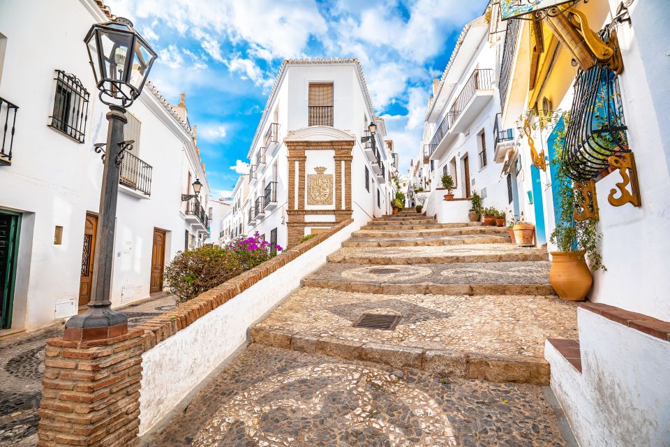
Frigiliana
One of Spain's most beautiful villages with whitewashed houses, narrow cobblestone streets, and stunning mountain views. Famous for its honey and molasses production.
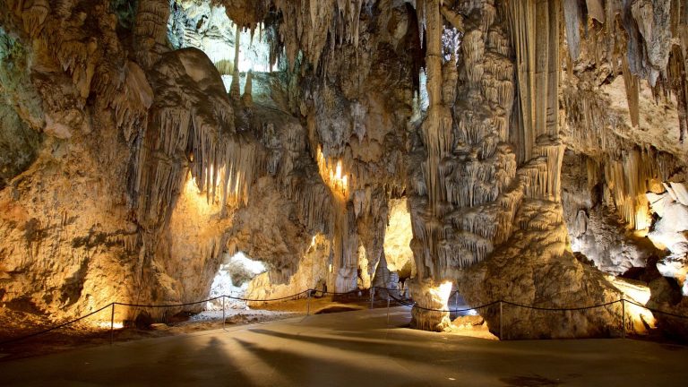
Caves of Nerja
Spectacular prehistoric caves with stalactites and stalagmites. Home to the world's largest stalactite and ancient cave paintings.
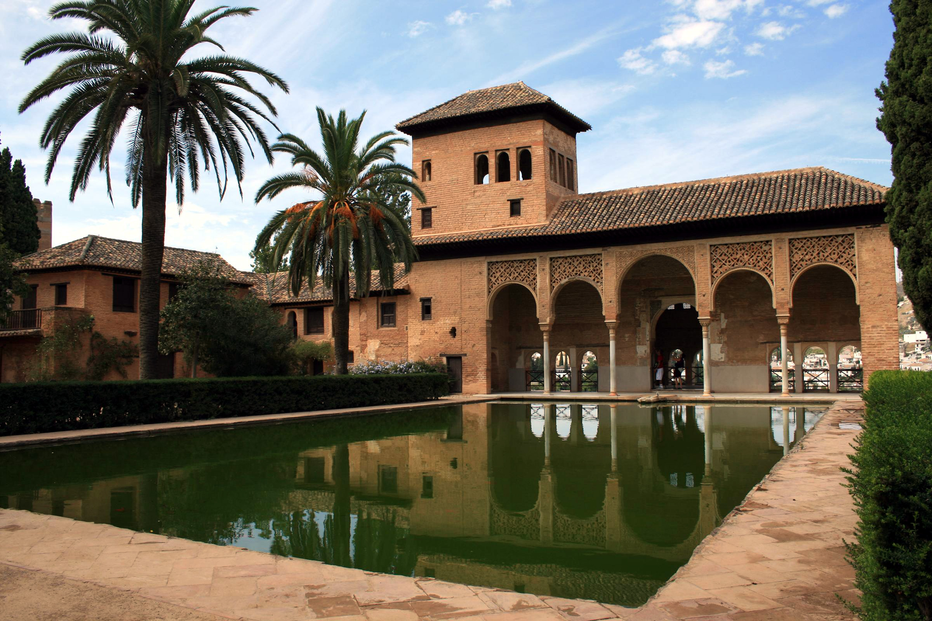
Granada & Alhambra
Visit the stunning Alhambra palace, one of Spain's most visited monuments. Explore the historic Albaicin quarter and enjoy tapas culture.
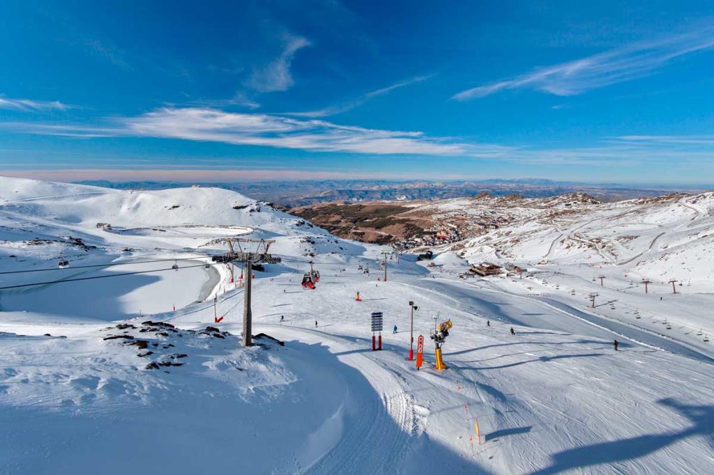
Sierra Nevada
Spain's highest mountains offering skiing in winter and hiking in summer. The drive through the Alpujarras villages is stunning.
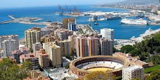
Malaga City
Nerja's provincial capital with the Picasso Museum, historic center, and vibrant nightlife. Regular bus connections available.
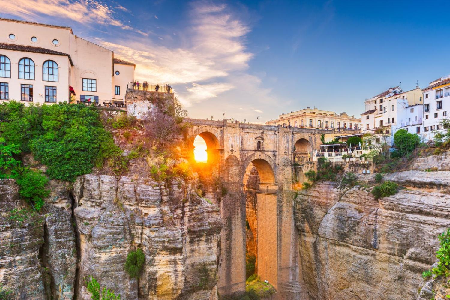
Ronda
Dramatic hilltop town famous for its gorge, historic bullring, and spectacular views. One of Andalucia's most beautiful towns.
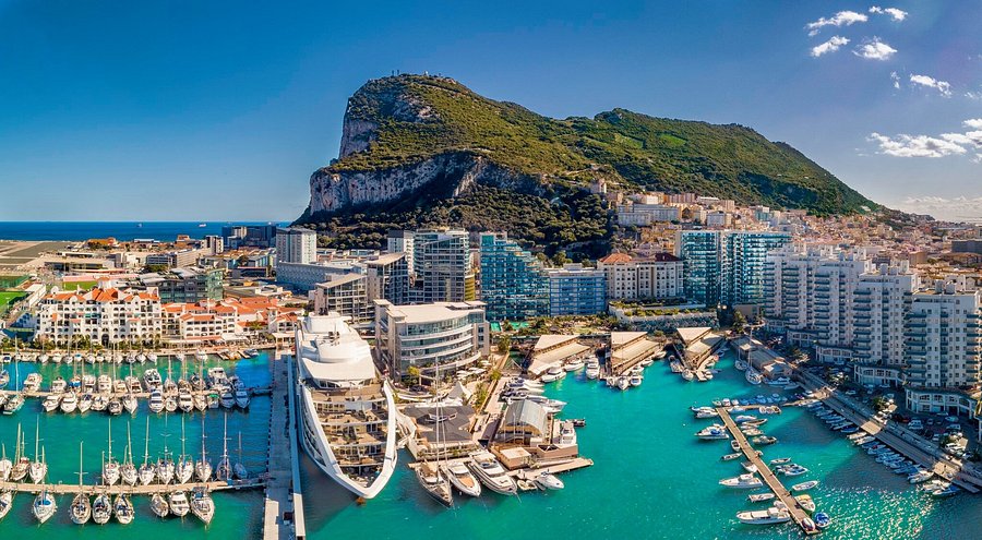
Gibraltar
Visit the famous Rock, see the Barbary macaques, and enjoy duty-free shopping. A unique British territory on the Spanish coast.
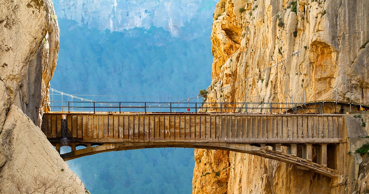
Caminito del Rey
Once the world's most dangerous walkway, now a stunning boardwalk path along dramatic gorge cliffs. Book in advance!
Make Nerja Your Base
Our centrally located apartments are perfect for exploring all that Andalucia has to offer!